The most important is the Sixaola River (76 km), which forms a natural border with Panama, was born in the foothills of the Cordillera de Talamanca and is navigable. They also emphasize the Colorado River (navigable), Tortuguero (85 km), Pacuare (133 km), Reventazón (110 km), Parismina (92 km, called the last three because it is practiced, for part of the year, the sport of rafting ), Jimenez, Matina, Moin, Lemon, Banana, Bananito and The Star.The rivers of the Pacific slope are usually quiet, with a flow less torrential, born on the slopes of volcanoes.
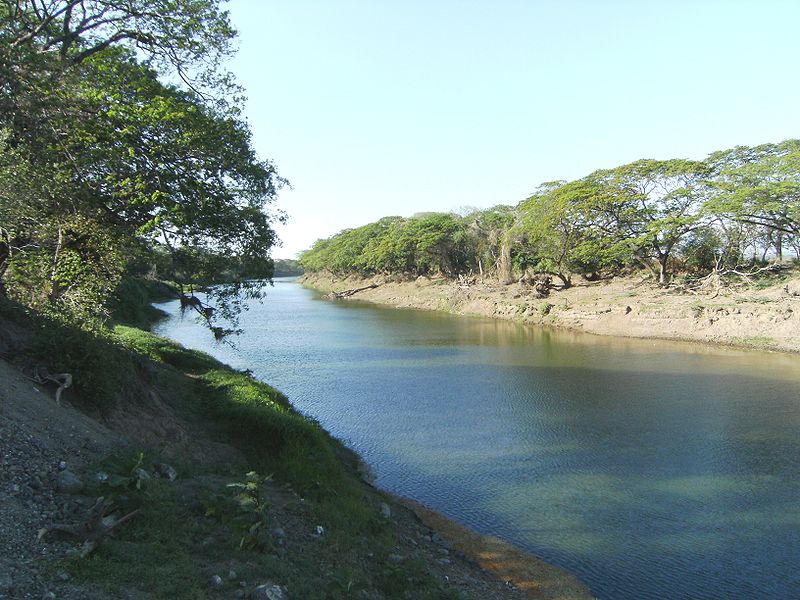
The most important river is the river Tempisque, whose length is 144 km, is navigable, and is a major river system composed of rivers such as Liberia, Bag, Jump, Potrero, Piedras Blancas, Tenorio, Corobicí, Cañas and Lajas, which Irrigation gives the important agricultural region of Guanacaste.In the Nicoya Peninsula include rivers Morote, Nosara, Lajas and Bongo. Rivers Guacimal, Abangares, Aranjuez and Barranca born Tilarán saw during the dry season and its volume shrinkage. In the Central Pacific region lie the rivers Mary and Jesus Tárcoles, whose waters come from the West Central Valley, its tributaries are the Rio Grande and Virilla that have their sockets in the provinces of San José, Heredia and Alajuela.River Basin Tárcoles (111 km) is very important for the country, as it provides all the wealth of its natural resources. It has an area of 2,121 km2, a rainfall of 2 456 mm and a flow rate of 48 liters per second and square kilometer. Parrita Rivers (82 km), Naranjo and Savegre deposit their water in the south Pacific.
The Rio Grande de Térraba (or Diquis, its Aboriginal name), formed by the rivers General and Coto Brus, is the longest (186 km) river in the country. It is only navigable in its lower (22 km), when browsing a large area planted with oil palm. It flows through a wide delta covered in mangrove forests in the Golfo Dulce.
 |
| Tempisque River |
 |
| Pacuare river |
No hay comentarios:
Publicar un comentario